Don't doubt the groundhog; overall warmth to extend into early March
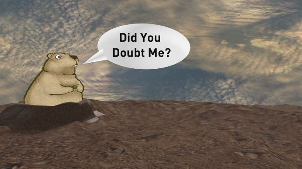
WEST VIRGINIA (WCHS) — After the burst of snow Friday night and a frigid, blustery Saturday many people could be forgiven for wondering if the groundhog(s)' forecast of an early spring was premature.
Since that time, however, temperatures have progressively warmed up each afternoon, reaching the 50s to near 60 on this Tuesday afternoon.
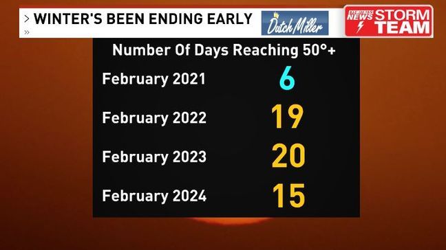
Today marked the 15th day this month that we reached at least 50 degrees, and keep in mind that our average high temperature now is still 49.
This has actually been common over the last couple of years, with last February recording 20 days of 50+ and 2022 recording 19.
The last time we had a truly cold February was 2021 when the region was hit by devastating ice storms.
This warm trend will continue through the rest of the week, with most of us reaching 60+ Wednesday and Thursday before trending chillier into the weekend. Even that looks short-lived as we climb back into the 50s from Sunday into early next week.
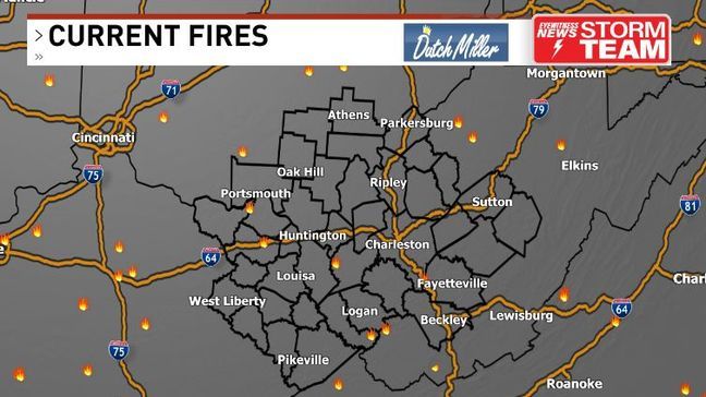
Not only has it been mild but also extremely dry. Some brush fires have popped up across parts of the area as a result.
Fire season doesn't officially begin in Ohio and West Virginia until March 1 but it's best to hold off any burning until Friday.
We'll get some helpful rain Thursday into Friday, especially Thursday night as a low pressure system tracks to our north. That ensures we're only looking at rain, not snow, and we should average around a half inch or more into Friday morning before it tapers off, which will help with any fires.


