Hottest temperatures in two years possible within the next week
The weather in recent days has felt more like September and October rather than June, with daytime temperatures mostly in the 70s and overnights in the 50s .
A cold front which triggered some scattered brief downpours early this evening will only reinforce this fall-like feel over the next 24 hours.
High temperatures will hold in the mid 70s Tuesday in spite of good sunshine, and overnight low will fall near 50 in town with some 40s in outlying areas.
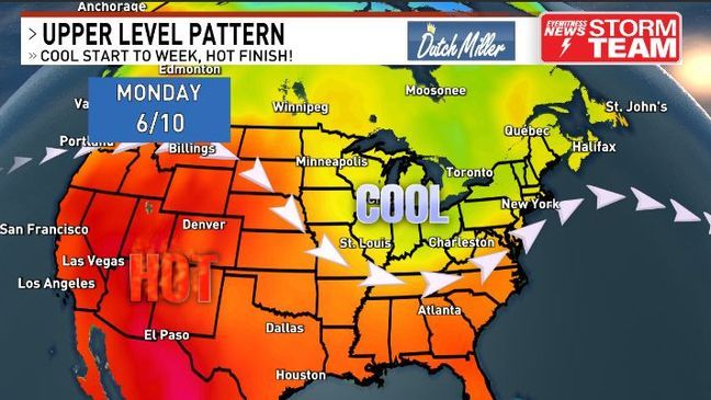
However, this fall-like pattern won't hold. Severe heat has been confined to the southwestern U.S. in recent days with a dip in the jet stream over the Midwest and Ohio Valley keeping it at bay.
By mid-late week that jet stream will start lifting to the north, with a ridge forming across the east.
After another comfortable, beautiful day Wednesday temperatures will start heating up a bit more Thursday. We'll still enjoy lots of sun and humidity won't be too bad, but temperatures by Thursday afternoon will hit the upper 80s to near 90 degrees, quite a contrast from our recent temperatures.
The only chance for rain into the weekend appears to be late Friday afternoon/evening as a weak cold front drops in from the north and triggers a few scattered showers and storms.
That front will wash out over us by Saturday so we're back to dry weather. Temperatures will still be quite warm but should hold in the 80s for the North-South Football Classic kicking off at noon Saturday.
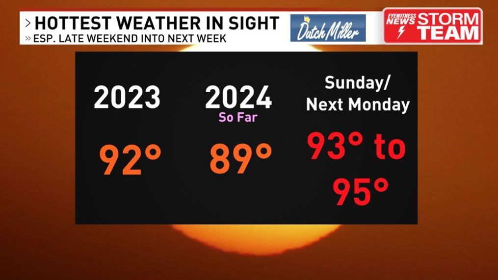
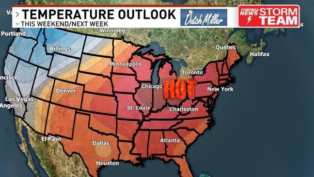
By Fathers Day even hotter air will infiltrate the region as that ridge strengthens, and we expect the hottest day of the year so far with temperatures eclipsing 90 degrees in many spots. The humidity will be on the rise too.
Monday looks even hotter with temperatures reaching the mid 90s.
Keep in mind that last year Charleston's highest temperature was only 92 and 94 for Huntington. It seems likely we'll exceed these numbers by either Sunday or Monday.
Even beyond that temperatures look to remain hot through much of next week although increasing chances for afternoon storms could provide temporary relief at times.
