Record rainfall results in major flooding
WEST VIRGINIA (WCHS) — The threat for severe thunderstorms with high winds and possible tornadoes failed to materialize on Thursday, in large part due to clouds and frequent showers that knocked afternoon temperatures back into the 60s.
One strong cell did produce large hail in southeast Kanawha and Clay counties but our area avoided a repeat of last Tuesday.
Instead, we were struck with another significant weather impact: flash flooding.
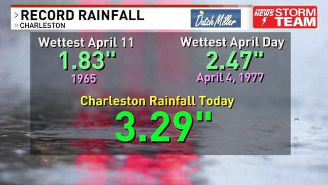
The rain that cooled the air became excessive by late afternoon and evening, with Charleston receiving over three inches of rain for the day and some locations seeing over five inches. These are totals more reminiscent of a downburst in summer than in spring.
Indeed, the rain shattered not only the daily April 11 record from 1965 but the monthly record of about 2.5 inches from 1977.
The 3.29 inch total stands as one of the wettest calendar days in recorded weather history for Kanawha County.
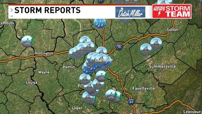
Streams and creeks rapidly flooded, with many water rescues as people became trapped in their homes and vehicles.
While those smaller waters have receded tonight the larger creeks and rivers are rising.
The Coal River is expected to crest late Friday two feet above flood stage, higher than last February although well short of the March 2021 level. Flooding of Coal River Road, Ferrell Road and Smith Creek Road are expected into Saturday.
The Mud River will likely flood in some locations as the crest works downstream toward Huntington. The Ohio River will crest near flood stage this weekend although lower than last.
With high water persisting Friday, plus the added threat for mudslides and gusty winds that can cause scattered tree damage and power outages due to the loose soil, a Weather Alert is in effect.


